In this article:
- Planning Amami Oshima: Location, Seasons, and Getting There
- The Forest: Kinsakubaru, Mangroves, and the Amami Rabbit
- The Coast: Capes, Beaches, and Tidal Pools
- Island Culture: Keihan, Kokuto Shochu, and Mud-Dyed Silk
- Amami Oshima: Frequently Asked Questions
Introduction
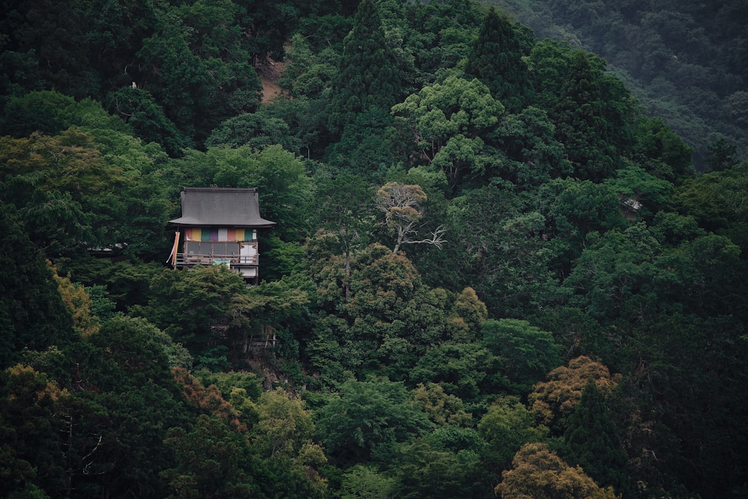
Step out of the car at the edge of Kinsakubaru and the sound arrives before anything else. Cicadas, layered and relentless, and underneath them the drip of water off tree ferns taller than a house. Amami Oshima does not introduce itself with a beach. It introduces itself with a forest that looks older than the country around it.
Most travelers heading south in Japan fly straight past it to Okinawa. That is a mistake we are happy to correct. Amami Oshima sits between Kyushu and Okinawa, belongs to Kagoshima Prefecture, and shares Okinawa’s warm sea and coral reefs. Its interior, however, is something Okinawa’s main island cannot offer: dense subtropical forest with animals found nowhere else on earth, recognised in 2021 when the island became part of a natural World Heritage listing.
The travelers we bring here tend to be the ones who have already done Kyoto and Tokyo and want a part of Japan that still feels unperformed. The sections below cover how to plan the trip, how to walk the forest within its rules, where to go on the coast, and the island culture that makes Amami more than a beach stop.
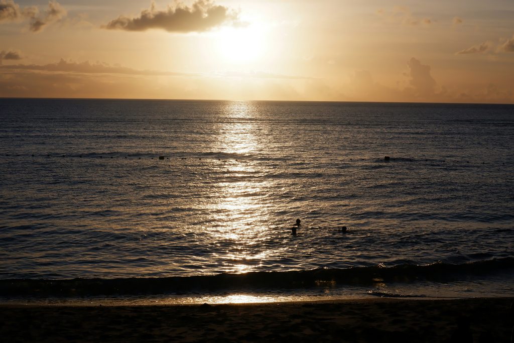
Planning Amami Oshima: Location, Seasons, and Getting There
Amami is easy to reach and hard to rush. The logistics are simple once you accept that the island is larger than it looks on a map.
Between Kyushu and Okinawa, and Not Quite Either
Amami Oshima is the largest of the Amami Islands, a chain running south from Kagoshima towards Okinawa. Its capital, Naze, is a working port town in Amami City rather than a resort. Much of the island is steep, forested hill country, and the coastline folds in and out in long inlets, so distances by road are longer than straight lines suggest.
Culturally the island sits between two worlds. It was once part of the Ryukyu sphere and later came under the Satsuma domain, and the food, music, and dialect reflect both. Visitors who expect a smaller Okinawa are usually surprised. The pace is slower, the resorts fewer, and the forest far more present in daily life.
When to Go: Rainy Season Comes Early, Typhoons Come Late
The rainy season reaches Amami well before mainland Japan. The Japan Meteorological Agency’s average dates put its start around mid-May and its end around the close of June. After that, July and August bring the most reliable beach weather, along with serious heat and humidity in the forest.
Typhoon season overlaps with high summer and runs into autumn, with August and September carrying the most risk. A passing storm can cancel flights and ferries for a day or more. If you travel then, leave a spare day before any onward international connection.
Our preference is October and early November. The sea is still warm enough for most swimmers, the forest is less oppressive, and the typhoon risk has eased. April is also good, although the water is cooler. For a wider view of how Japan’s wet months affect plans, see our rainy season travel tips.
Flights, the Overnight Ferry, and Why You Need Wheels
Most visitors fly into Amami Airport, near the island’s northern end. Japan Airlines group carriers fly from Tokyo Haneda in roughly two and a half hours, and Kagoshima has the most frequent connections, at about an hour. Low-cost Peach services have linked the island with Narita and Kansai. Routes and frequencies shift by season, so check the airport’s current schedule before building an itinerary around a particular flight.
The alternative is the ferry. Two operators, A-Line and Marix Line, run between Kagoshima, the Amami Islands, and Naha, and the Kagoshima to Amami leg takes around eleven hours overnight. It is slow, but arriving by sea into Naze at dawn is a fine way to understand where you are.
From the airport to Naze is around forty-five minutes by car. Buses exist, but they are built for residents rather than for reaching beaches and forest trailheads on a sightseeing schedule. A rental car or a driver-guide is the realistic choice. Driving from one end of the island to the other takes around two hours, and the roads through the hills are narrow and winding.
Expert Tip
Base yourself in or near Naze rather than at the airport end. Naze sits at the hub of the island’s main roads, which puts the forest, the northern capes, and the southern coast within reach on separate days. Evenings are better there too, since that is where the island’s small restaurants and bars are.
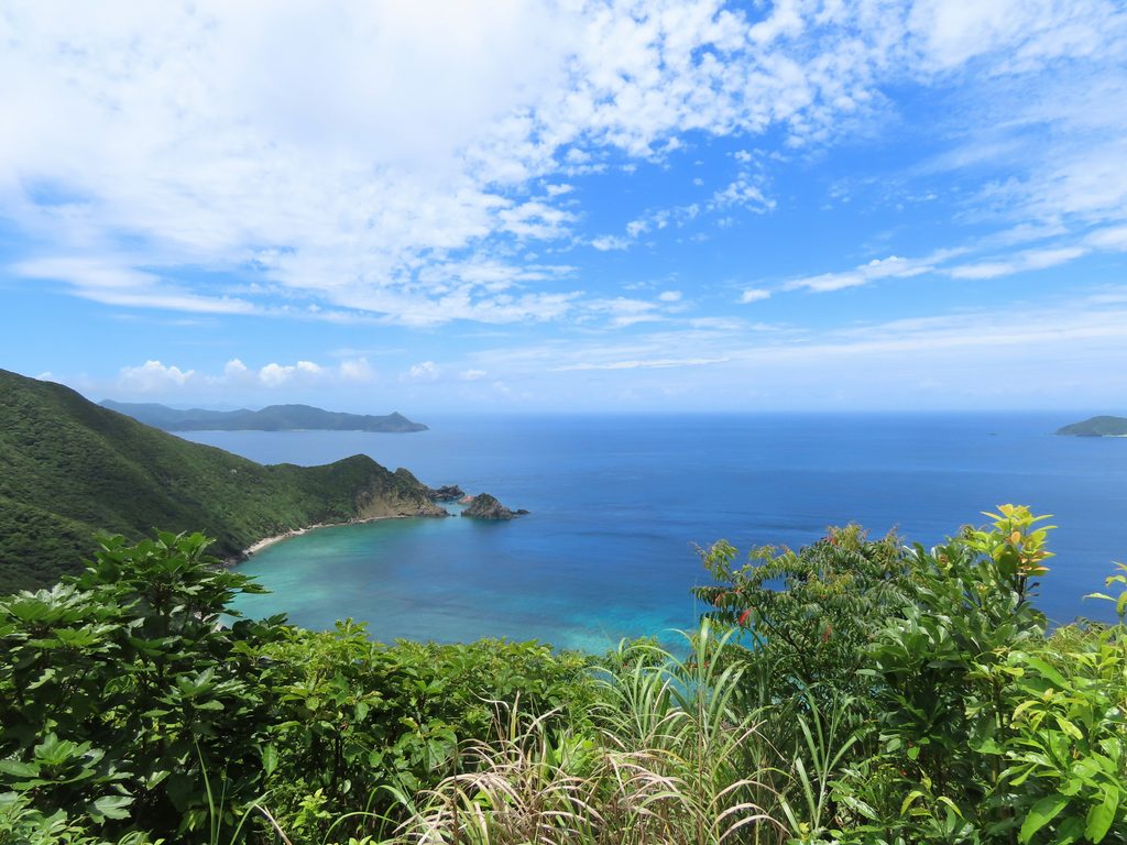
The Forest: Kinsakubaru, Mangroves, and the Amami Rabbit
The World Heritage listing was for what lives in the forest, and the forest is where Amami differs most from anywhere else you will visit in Japan.
Kinsakubaru and the Certified Guide Rule
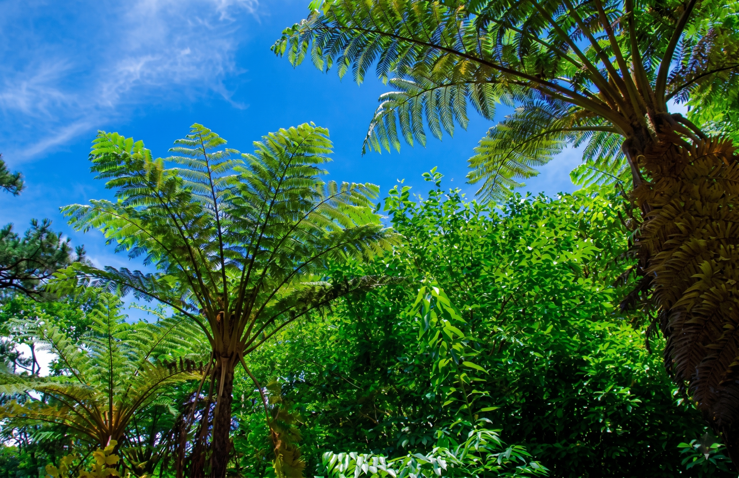
Kinsakubaru is a stretch of old subtropical forest in the hills about half an hour by car from Naze, reached by a forest road. The canopy is dominated by giant tree ferns and broadleaf evergreens, and the path through it is close to flat. Lidth’s jay, a striking blue and chestnut bird found only in these islands, is often heard before it is seen.
Access is managed. Since 2019, Amami City has asked visitors to enter the regulated section of about two kilometres only in the company of a certified Amami Islands eco-tour guide, and the number of guide vehicles and taxis allowed in at the same time is capped at ten. Private rental cars are not the way in. In practice this means you book the forest, not just drive to it.
We think the rule makes the experience better rather than worse. A good guide spots the orchids, the endemic frogs, and the tracks on the path that you would walk straight past. On our private Amami Oshima day tour, Kinsakubaru is the first stop after meeting in Naze, before the day turns towards the coast.
Paddling the Mangroves at Sumiyo
South of Naze, in the Sumiyo area, a large mangrove forest spreads across the tidal flats where rivers meet the sea. It is often described as the second-largest in Japan. Kuroshio no Mori Mangrove Park rents canoes and runs guided paddles of about an hour through the channels.
Timing is everything here. At low tide the channels thin out and parts become impassable, so operators schedule around the tide table. Go with the tide in your favour and the experience is quiet and close, with crabs on the roots and herons lifting off ahead of the bow.
Night Wildlife and the Habu Question
The Amami rabbit, a dark, short-eared animal that has changed little over millions of years, is nocturnal. You will not see one on a daytime walk. Night wildlife tours with licensed operators drive the forest roads after dark, and sightings of the rabbit, along with owls and frogs, are common enough to make them worthwhile.
Amami also has the habu, a venomous pit viper. It is a real presence but rarely a real problem for visitors on a guided walk. Stay on paths, wear long trousers and closed shoes, and let the guide lead in long grass. Insects are the more certain nuisance, so long sleeves and repellent help.
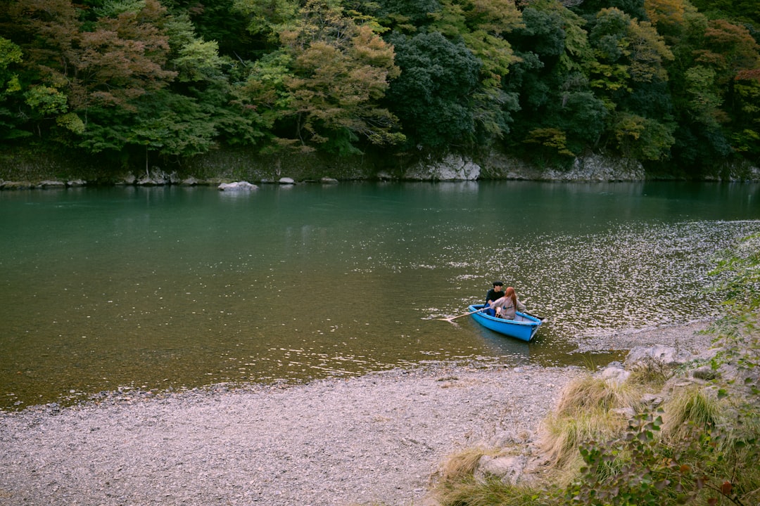
The Coast: Capes, Beaches, and Tidal Pools
Amami’s beaches are usually empty. That is the headline, and it holds even in August.
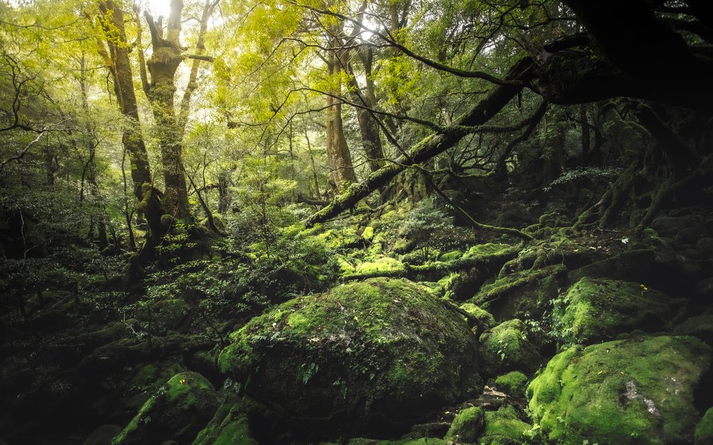
Cape Ayamaru and the Northern Coast
Cape Ayamaru juts into the Pacific a short drive north of the airport. The area is kept as a tourist park, with raised coral, cycads, and open ocean on three sides. At low tide the reef flat below the cape exposes rock pools worth a slow walk.
Continue towards Kasari and the northern tip, and the landscape turns to sugarcane fields and small villages. This end of the island is flatter and brighter than the forested centre. It is the easiest area for a first afternoon after landing.
Heart Rock and Reading the Tide
On the north-east coast, a heart-shaped tidal pool in the rocks at Bira beach has become one of the island’s most photographed spots. It appears only at low tide. Arrive at high water and there is nothing to see.
The rocks are slippery and sharp, and the walk out is over uneven reef. Wear shoes with grip, not sandals. We suggest treating Heart Rock as a bonus if the tide aligns, rather than rearranging a day around it.
The South: Yadorihama and Honohoshi
The southern end of Amami Oshima belongs to Setouchi Town and feels even further from anywhere. Yadorihama is a sheltered white-sand beach near the island’s southern tip, with calm water and very few people. Its name is said to come from the huts where fishermen once sheltered from wind and rain.
Nearby, Honohoshi Coast is a completely different shore: a beach of large rounded stones that rumble and clatter as waves pull back through them. It is not a place to swim. It is one of the more memorable sounds on the island, and in our experience the stop guests mention afterwards more than they expect.
That south-coast reach is why a full day on Amami involves real driving. Our private day tour crosses from the forest near Naze to Cape Ayamaru, then down to Yadorihama, and the drive between them runs through forest and past mangrove inlets that are part of the point.
Expert Tip
Check the tide table for Naze before you plan your coastal day. Heart Rock, the reef flats at Cape Ayamaru, and the mangrove canoe routes all depend on it, and they want opposite conditions. Low tide suits the rock pools, while the canoe needs enough water in the channels. Put the tide-dependent stops first and fill the rest of the day around them.
Island Culture: Keihan, Kokuto Shochu, and Mud-Dyed Silk
Amami’s culture is small in scale and very specific. Three things carry most of it: a dish, a drink, and a cloth.
Keihan, the Dish Everyone Eats
Keihan is shredded chicken, strips of thin omelette, pickles, and herbs arranged over rice, with hot chicken broth poured over at the table. It is light, fragrant, and far more satisfying than the description suggests.
Every visitor eats it, and so does everyone on the island. We build lunch around it on our tours for that reason. The broth is the thing to judge a place by, and a clear, deep one is worth the drive.
Kokuto Shochu and Its Legal Exception
Kokuto shochu is distilled from brown sugar and rice koji. Under a special provision in Japan’s liquor tax rules, the Amami Islands are the only place in the country permitted to make shochu from brown sugar, and the koji is a condition of that permission.
The result is dry rather than sweet, with a soft, rum-like aroma. Drink it with water or on the rocks in Naze, ideally somewhere with shima-uta, the island’s folk songs, played live. Bottles make a better souvenir than most things sold at the airport.
Oshima Tsumugi and Dorozome Mud Dyeing
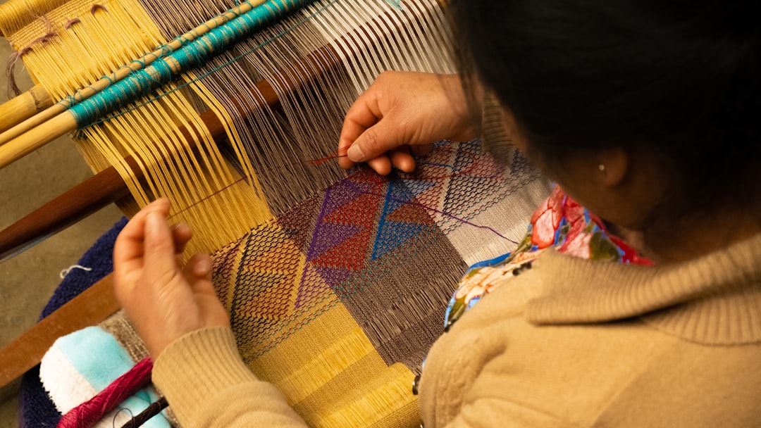
Oshima tsumugi is Amami’s silk, woven into kimono cloth prized across Japan. Its deep black-brown comes from dorozome, a mud-dyeing process. Silk thread is soaked repeatedly in a dye boiled from the bark of the techigi tree, a local hawthorn, then worked in iron-rich mud. The tannin in the dye reacts with the iron in the mud, and colour builds over many cycles.
Each bolt passes through many specialised hands over months, from dyeing to the loom. Once you have seen it, the price of a bolt stops looking unreasonable. Amami Park, near the airport, covers the island’s history and textiles alongside the Tanaka Isson Memorial Museum, and workshops such as Oshima Tsumugi Village in Tatsugo show the dyeing in person.
For travelers interested in how other regions keep their crafts alive, our guide to Japan’s countryside is a useful next read.
Amami Oshima: Frequently Asked Questions
How do you get to Amami Oshima from Tokyo or Okinawa?
From Tokyo, fly. Japan Airlines group flights from Haneda take around two and a half hours, and low-cost services have operated from Narita. From Okinawa, there are flights from Naha, or the A-Line and Marix Line ferries run between Naha, the Amami Islands, and Kagoshima. Kagoshima has the most frequent flights of any city.
Can you visit Kinsakubaru forest without a guide?
Not under the current rules. Amami City asks visitors to enter the regulated section of Kinsakubaru only with a certified Amami Islands eco-tour guide, and vehicle numbers are limited. Book a guided walk in advance, particularly in summer and on holiday weekends.
Is Amami Oshima worth visiting if you have already been to Okinawa?
Yes, and arguably more so. The sea and reefs are similar, but the forest, the endemic wildlife, the food, and the textile tradition are Amami’s own. Visitor numbers are also far lower. If you want to compare the two coasts, our guide to Okinawa’s beaches and culture covers the main island.
Related Tours
Conclusion
Amami Oshima asks for a little more planning than a typical island stop. The forest has rules, the coast runs on the tide, and the drive from one end to the other is longer than it looks. None of that is a drawback. It is the reason the island still feels the way it does.
Start with the practical steps. Book flights with a spare day in typhoon months, arrange a car or a driver-guide before you land, and reserve Kinsakubaru with a certified guide ahead of time. Then check the Naze tide table, carry cash for lunch and entrance fees, and keep one evening free for kokuto shochu and live island song.
Plan Your Japan Trip with Local Experts
Our team has guided 40,000+ travelers across Japan. Tell us about your trip and we’ll get back to you within 24 hours.